on a clear day
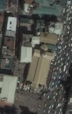
 Detail from Google Earth showing CCP and Roxas Blvd.
Good news! The latest update of Google Earth shows higher resolution satellite imagery for Metro Manila. So far it's a single orthoquadrant that is centered around the port area -and large parts of the scan are obscured by low lying clouds but it does promise better images in the future.
The image above shows the reclaimed area in very good detail. Check out the major traffic jam along the boulevard. Here's one of Quiapo Church.
Also, vectors for the primary highways are also available.


No comments:
Post a Comment