lord of all you survey
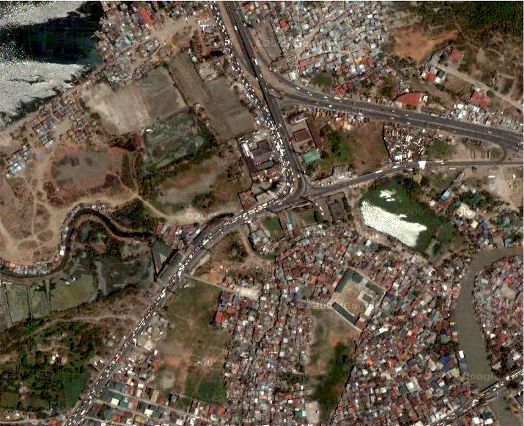
Check out hi-resolution aerials of Cavite on google maps. As far as I can tell, only northern Cavite (south Manila Bay shore) and the Clark and Pampanga area seem to have images at this resolution.
The Cavite image i linked to above clearly shows the interchange at the end of Coastal Road - and you can see how bad the traffic is. Zooming up to a higher altitude, you can see the extent of the spread of the urbanized areas in the national capital region.
I hope more data becomes available, and that google puts this up on google maps. The more we understand our spatial environment, the more we can better plan our growth.


No comments:
Post a Comment